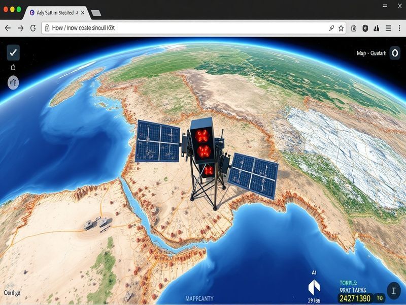
Building a Spy Satellite Simulator: AI in Action
As the technological landscape continues to evolve, the integration of artificial intelligence (AI) into various industries has become increasingly prevalent. One fascinating application of AI is in the development of spy satellite simulators, tools that allow researchers and professionals to simulate satellite surveillance in a browser-based environment. This article delves into the intricacies of building a spy satellite simulator, exploring the AI technologies involved, practical insights for developers, industry implications, and future possibilities.
The Role of AI in Satellite Surveillance
Satellite surveillance has traditionally relied on complex hardware and significant human intervention. However, AI is revolutionizing this field by automating processes and enhancing the accuracy of data interpretation. Here are some key ways AI contributes:
- Image Recognition: AI algorithms can analyze vast amounts of satellite imagery to identify objects, changes in land use, and even track movements over time.
- Data Processing: Machine learning models can sift through terabytes of data quickly and efficiently, making it easier to extract relevant information.
- Anomaly Detection: AI can be trained to recognize unusual patterns or changes in the environment that could indicate significant events or threats.
Components of a Browser-Based Spy Satellite Simulator
Building a spy satellite simulator involves several key components that work in unison to create an effective tool for simulation. Below are the main elements to consider:
- User Interface (UI): A user-friendly interface is crucial for allowing users to interact with the simulator effectively. This includes map views, controls for satellite movement, and options to select different types of surveillance scenarios.
- Data Sources: Integrating real-world data, such as satellite imagery and environmental data, enhances the simulator’s realism. Publicly available datasets or APIs can be leveraged to provide updated information.
- AI Algorithms: Implementing machine learning models for image analysis and object detection is essential. These models can be built using frameworks like TensorFlow or PyTorch and trained on relevant datasets.
- Simulation Engine: The core of the simulator, this engine handles the logic for satellite movements, data processing, and rendering the visualizations on the user interface.
Practical Insights for Developers
Creating a spy satellite simulator may seem daunting, but here are some practical insights to guide developers through the process:
- Start Small: Begin with a basic version of the simulator that focuses on a limited geographic area and a few types of objects. This allows for easier testing and refinement.
- Iterative Development: Use an agile development approach to continually improve the simulator based on user feedback and testing results. This will help identify issues early and enhance the overall user experience.
- Collaboration: Team up with experts in satellite technology, AI, and user experience design to ensure a comprehensive approach to development. This multidisciplinary collaboration can lead to more innovative features and functionalities.
Industry Implications
The implications of deploying AI-driven satellite simulators extend across various industries, including:
- Defense and Security: Military organizations can utilize simulators for training personnel in satellite operations and surveillance techniques without the costs associated with actual satellite launches.
- Agriculture: Farmers can simulate satellite surveillance to monitor crop health and land use, allowing for data-driven decisions to optimize yields.
- Urban Planning: City planners can visualize and analyze urban growth patterns, helping to make informed decisions about infrastructure development and resource management.
Future Possibilities
As technology advances, the future of spy satellite simulators holds exciting possibilities:
- Enhanced Realism: With the improvement of AI algorithms and the acquisition of higher-resolution imagery, simulators will become increasingly realistic, allowing users to conduct more sophisticated analyses.
- Real-Time Data Integration: Future simulators may offer real-time data integration, enabling users to respond to events as they unfold and make informed decisions quickly.
- Expanding Accessibility: As browser-based tools become more prevalent, access to satellite simulations will broaden, allowing a wider range of users—from researchers to students—to explore and learn from satellite data.
In conclusion, the development of a spy satellite simulator utilizing AI represents a significant leap forward in the ability to conduct satellite surveillance. By leveraging advanced technologies and fostering collaboration among experts, developers can create a tool that not only benefits various industries but also opens up new avenues for research and innovation in satellite technology.

