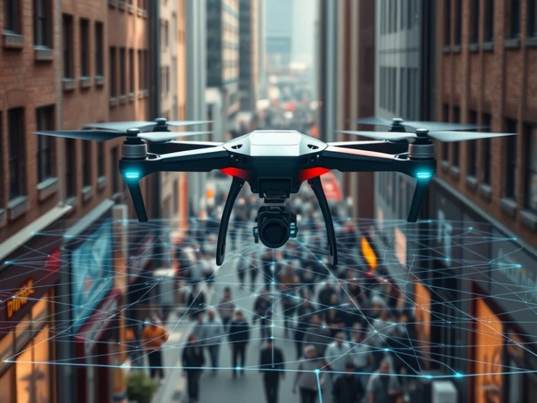
A new class of drone technology is emerging, capable of autonomously tracking individuals through complex, GPS-denied, or highly occluded environments by leveraging sophisticated prediction algorithms.
Traditional autonomous drones heavily rely on Global Positioning System (GPS) signals for localization and navigation. While GPS provides accurate global coordinates in open-sky conditions, its effectiveness plummets in dense urban areas, under heavy tree canopy, indoors, or in environments where signals are intentionally jammed or spoofed. These limitations have historically restricted drone applications in critical areas like urban search and rescue, complex industrial inspections, or surveillance in cluttered environments.
Beyond GPS: The Role of Sensor Fusion and AI
The breakthrough in this new drone capability stems from a combination of advanced sensor fusion and predictive artificial intelligence. Instead of relying solely on external positioning systems, these drones build a robust understanding of their own position and the target’s movement through an array of onboard sensors and real-time computation.
Key technologies enabling this include:
- Visual-Inertial Odometry (VIO) and Simultaneous Localization and Mapping (SLAM): These techniques allow the drone to estimate its own position and orientation (odometry) and concurrently map its surroundings (SLAM) using data from cameras and Inertial Measurement Units (IMUs). By tracking visual features in the environment and integrating IMU data (accelerometer and gyroscope readings), the drone can maintain a highly accurate understanding of its movement relative to its starting point, even without GPS.
- Advanced Computer Vision for Object Detection and Tracking: High-resolution cameras, often complemented by depth sensors (like lidar or stereo cameras), are used to identify the target individual. Modern deep learning models, such as those based on convolutional neural networks (CNNs) like YOLO (You Only Look Once) or Faster R-CNN, can detect humans in real-time with high accuracy. Once detected, multi-object tracking (MOT) algorithms maintain a persistent identification of the target across successive video frames, even when other people or objects briefly obscure the view.
- Predictive Algorithms for Trajectory Forecasting: This is where the “advanced prediction algorithms” play a crucial role. When the target becomes temporarily occluded by buildings, trees, or crowds, the drone doesn’t lose track. Instead, it uses machine learning models to predict the target’s most probable future trajectory. These models are often trained on vast datasets of human movement patterns and can incorporate contextual information, such as typical walking speeds, turning behaviors, and environmental constraints. Techniques employed can range from Kalman filters for short-term state estimation to more complex neural network architectures, such as Recurrent Neural Networks (RNNs) or Transformers, capable of learning long-term dependencies in movement data.
Navigating Complexity and Occlusion
Dense environments present significant challenges beyond just GPS signal loss. Constant occlusions are a primary hurdle. A person walking behind a building or through a dense crowd can disappear from the drone’s line of sight for several seconds. The predictive algorithms mitigate this by:
- Maintaining a “Ghost Track”: Even when the target is not directly visible, the system continues to update its predicted position based on learned movement models and the last known velocity and direction.
- Re-acquisition Strategies: Once the target is expected to re-emerge, the drone can reposition itself to optimize the chances of re-acquiring visual lock. The computer vision system then rapidly scans the predicted area to confirm the target’s identity and re-establish direct tracking.
- Semantic Understanding: Some advanced systems incorporate a degree of semantic understanding of the environment, recognizing common pathways, obstacles, and areas where a person is likely to emerge, further refining predictions.
Implications and Potential Applications
The ability to track individuals reliably in GPS-denied and visually challenging environments opens up a wide array of applications:
- Search and Rescue: Drones could more effectively locate lost individuals in dense forests, urban rubble, or complex indoor structures where GPS is unreliable.
- Urban Surveillance and Security: Enhanced tracking capabilities would allow for more robust monitoring of specific individuals or groups in crowded cityscapes, even amidst significant visual clutter.
- Industrial Inspection: Tracking workers or assets in large, complex indoor facilities like warehouses or factories for safety compliance or inventory management.
- Wildlife Monitoring: Following specific animals through dense foliage for ecological studies, without disturbing them or relying on external tags.
- Logistics and Delivery: Guiding last-mile delivery drones through complex urban environments to specific recipients, even if the GPS signal at the delivery point is weak.
Technical Challenges and Ethical Considerations
While promising, this technology faces ongoing development challenges. Real-time processing of vast sensor data and complex AI models on resource-constrained drone hardware requires significant optimization. Power consumption also remains a critical factor, as continuous high-intensity computation can quickly drain batteries. Robustness in diverse weather and lighting conditions is another area of active research.
Furthermore, the ethical implications of such advanced tracking capabilities are substantial. The ability to autonomously follow individuals without direct human intervention raises significant privacy concerns, particularly regarding potential misuse for mass surveillance or unauthorized tracking. Developers and policymakers face the crucial task of establishing clear guidelines and safeguards to ensure responsible deployment of these powerful new drone systems.