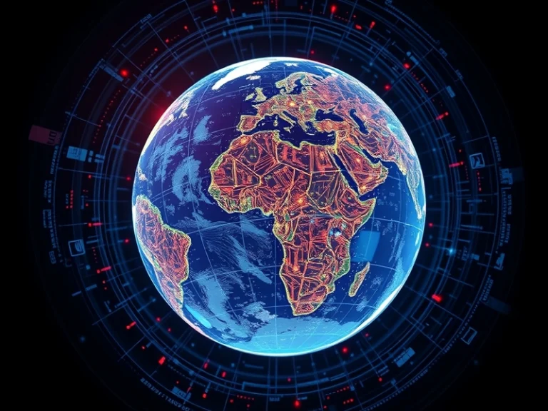
A novel application, provisionally named “God’s Eye View,” aims to synthesize an unprecedented array of real-time data streams into a comprehensive, AI-driven 3D map of global activity. This ambitious project seeks to move beyond static, pre-rendered maps, offering a dynamic, constantly updated digital twin of the Earth that reflects ongoing events and evolving conditions.
The core proposition of the “God’s Eye View” application lies in its ability to combine disparate data sources into a cohesive, interactive 3D model. Unlike traditional mapping services that primarily rely on satellite imagery and street-level views, this system envisions the integration of live feeds and sensor data to paint a picture of global activity as it unfolds. The ambition is to provide users with an immediate understanding of everything from traffic congestion and weather patterns to significant environmental changes and human movements, all rendered within a precise, three-dimensional geospatial context.
Data Fusion: A Multi-Layered Approach
Achieving such a comprehensive and real-time perspective necessitates the integration of an extraordinarily diverse set of data inputs. The application would likely draw from a wide spectrum of sources, each contributing a unique layer of information to the overarching 3D model:
- Satellite Imagery and Aerial Photography: High-resolution optical and synthetic aperture radar (SAR) satellite data, complemented by imagery from drones and piloted aircraft, provides foundational geographic context and detects large-scale changes.
- Internet of Things (IoT) Sensor Networks: Data from millions of connected devices, including traffic sensors, environmental monitors, smart city infrastructure, and industrial equipment, offers granular insights into localized conditions.
- Geospatial Information Systems (GIS) Data: Existing cadastral maps, utility networks, topographic data, and demographic information provide essential static layers that contextualize dynamic inputs.
- Crowdsourced and User-Generated Content: Anonymized mobile location data, social media feeds (processed for relevant public information), and community reporting could contribute to understanding human activity and sentiment in specific areas.
- Meteorological and Environmental Data: Real-time weather radar, climate models, air quality sensors, and hydrological data are crucial for depicting environmental conditions and predicting natural phenomena.
- Logistics and Infrastructure Feeds: Data from shipping manifests, flight tracking systems, public transit schedules, and supply chain networks could offer a macro view of global movement and resource distribution.
The Indispensable Role of AI
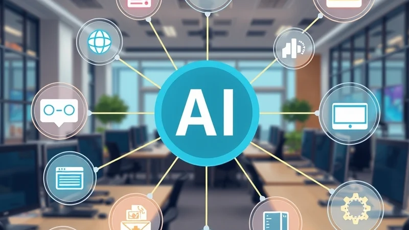
The sheer volume, velocity, and variety of these data streams would be impossible to manage and interpret without advanced artificial intelligence. AI algorithms are central to every stage of the “God’s Eye View” concept:
- Data Ingestion and Normalization: Machine learning models are essential for processing petabytes of raw, heterogeneous data, converting it into a standardized format, and filtering out noise or irrelevant information.
- Feature Extraction and Object Recognition: Computer vision techniques analyze imagery to identify and classify objects, from buildings and vehicles to land cover types and individual people (where ethically permissible and technically feasible). Natural Language Processing (NLP) extracts meaningful insights from textual data sources.
- Real-Time 3D Reconstruction: Sophisticated algorithms leverage photogrammetry, LiDAR data, and other depth-sensing inputs to build and continuously update a dynamic, geographically accurate 3D model of the Earth’s surface and urban environments.
- Anomaly Detection and Pattern Recognition: AI identifies unusual events or significant changes by comparing current data against historical patterns, alerting users to emerging situations like natural disasters, infrastructure failures, or unusual concentrations of activity.
- Predictive Analytics: Machine learning models analyze trends to forecast future conditions, such as traffic congestion, weather events, or the spread of environmental phenomena, providing proactive insights.
- Data Fusion and Contextualization: AI is critical for intelligently combining different data layers, resolving conflicts, and ensuring that the synthesized view is coherent, accurate, and provides meaningful context.
Potential Applications and Ethical Considerations
The implications of an AI-driven, real-time 3D global map are far-reaching, offering transformative potential across numerous sectors:
- Urban Planning and Smart Cities: City planners could monitor traffic flow, public transport efficiency, utility usage, and infrastructure health in real-time, optimizing resource allocation and development.
- Disaster Response and Emergency Management: First responders could gain immediate situational awareness during floods, wildfires, earthquakes, or other crises, aiding in damage assessment, resource deployment, and evacuation planning.
- Logistics and Supply Chain Optimization: Businesses could track global shipments, optimize delivery routes, and anticipate disruptions caused by weather or geopolitical events, enhancing efficiency and resilience.
- Environmental Monitoring: Scientists and policymakers could track deforestation, pollution levels, glacier melt, and other ecological changes with unprecedented granularity, supporting conservation efforts and climate research.
- Geopolitical Analysis and Security: While sensitive, such a system offers potential for monitoring large-scale movements, infrastructure integrity, and activity patterns that could inform strategic decision-making.
However, the concept of a “God’s Eye View” also inevitably raises profound ethical questions, particularly concerning privacy, surveillance, and potential misuse. The ability to observe and analyze global activity with such detail necessitates robust safeguards to prevent unauthorized access, ensure data anonymization where appropriate, and protect individual liberties. The development and deployment of such a powerful tool would require careful consideration of its societal impact, transparency in its operation, and strong governance frameworks to mitigate risks.
The “God’s Eye View” application represents a significant leap in geospatial intelligence, pushing the boundaries of what is possible by combining advanced AI with the ever-expanding universe of real-time data. Its success would hinge not only on technical prowess but also on a commitment to responsible innovation and ethical deployment.