Google Earth Introduces Image Generation Capabilities: A Look at How AI-Driven Features are Transforming Geographic Visualizations
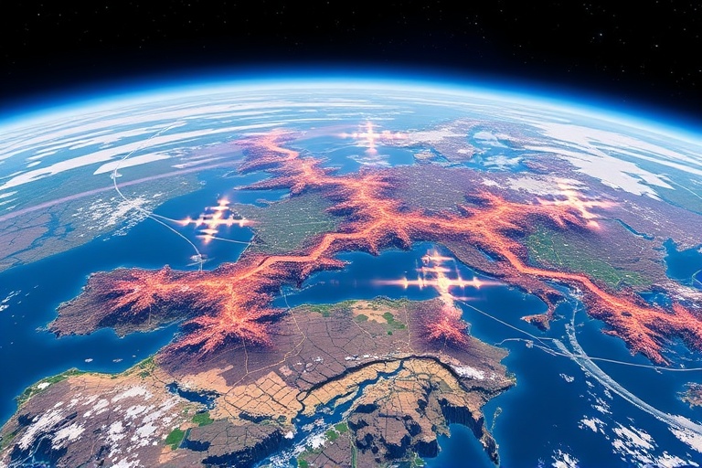
In a significant leap forward for geographic visualization, Google Earth has recently introduced image generation capabilities powered by artificial intelligence. This innovative feature promises to reshape the way users interact with geographic data, allowing for more dynamic, engaging, and informative visualizations. With the integration of AI, Google Earth is not merely a mapping tool; it is evolving into a platform that harnesses the power of machine learning to provide users with enhanced geographical insights.
The Power of AI in Geographic Visualization
As technology advances, the role of artificial intelligence has become increasingly central to geographic information systems (GIS). AI-driven features enable the generation of high-quality images and maps from raw data, transforming traditional geographic visualization methods. Here are some key aspects of how AI enhances Google Earth:
- Automated Image Generation: AI algorithms can generate realistic images of landscapes, cities, and terrains from minimal input data, allowing for an immersive user experience.
- Data Interpretation: Machine learning models can analyze complex datasets and provide visual representations that highlight patterns and anomalies.
- Customization: Users can generate tailored visualizations based on specific parameters, such as time of day, weather conditions, or seasonal changes.
Industry Implications
The introduction of AI-driven image generation in Google Earth has far-reaching implications across various industries:
- Urban Planning: City planners can utilize generated images to visualize potential developments and assess their impact on existing landscapes.
- Environmental Monitoring: Researchers can monitor changes in ecosystems and land use through visualizations that highlight alterations over time.
- Tourism and Education: Travel agencies and educational institutions can create engaging content that showcases geographic features and cultural landmarks.
Practical Insights for Users
For professionals and enthusiasts alike, Google Earth’s new capabilities present several opportunities:
- Enhanced Presentations: Users can create visually stunning presentations that incorporate AI-generated images, making a more significant impact on their audience.
- Interactive Learning: Educators can develop interactive lessons, allowing students to explore geographic data in an engaging way.
- Community Engagement: Local organizations can visualize community projects and initiatives, fostering greater public involvement.
Challenges and Considerations
While the benefits are substantial, the introduction of AI in geographic visualizations does not come without challenges. Some considerations include:
- Data Privacy: Ensuring that the data used for generating images complies with privacy laws and regulations is crucial.
- Accuracy of Representations: The reliance on AI-generated images raises questions about the accuracy and reliability of the visualizations produced.
- Digital Divide: Access to advanced technology may not be uniform across all regions, potentially creating disparities in how communities can leverage these tools.
The Future of Geographic Visualization
Looking ahead, the integration of AI in geographic visualization is likely to expand further:
- Real-Time Data Integration: Future iterations may offer real-time data visualization, allowing users to see current conditions as they explore.
- Augmented Reality (AR) Experiences: Combining AI with AR could create immersive experiences, enabling users to interact with the environment in novel ways.
- Collaborative Platforms: Enhanced collaboration tools may emerge, allowing users to share and co-create visualizations in a community-driven approach.
In conclusion, Google Earth’s foray into AI-driven image generation capabilities marks a pivotal moment in the evolution of geographic visualization. By transforming how users interact with geographic data, this innovation opens up new avenues for exploration, education, and engagement. As AI technology continues to advance, we can expect even more exciting developments in the realm of geographic information systems.